As is my custom, in the winter I start running lots of flat pavement in the name of convenience and trying to rest recurrent IT band problems (vert makes that worse). With some IT issues stemming from my New Years Revolution Run, I decided to hit the pavement. In previous years that is what CAUSED my IT band pain and also what caused stress fractures on my ankles. This time, it let to hip bursitis (I think). Woot woot! So… that means resting and not running as much + stretching and strength training.
I am considering dropping my yearly mileage goals and focusing on strength training more so I can run injury free. I sometimes feel like the push for weekly miles leads me to run when I have a free hour rather than hitting the gym. With little free time, I think “I can’t waste this hour at the gym, I need to get in my miles!” I wonder if more gym time (especially during the winter when getting time on the trails, which don’t seem to cause these injuries, is harder anyways). Plus, I don’t have to run in the inversion smog in the gym. Hmmm.
Its a bummer too, because I have increasingly been enjoying evening runs on the pavement. It is also so convenient to just pop out my front door and run for an hour with minimal gearing-up or driving to/from a trailhead. I am also getting hooked on the exhilaration of running flat and “fast.” Fast for me, at least. However, I looked back at when I started running in 2013 and my average pavement pace actually IS a lot faster than it used to be. Progress! Now I just need to learn how to prep my body to be able to do it injury-free.
Some fun (and freezing) road runs.
Some trails, which didn’t seem to aggravate the hip!
I was stranded in Springville for 2 hours while a kid was at a birthday party, so I hit the BST. It reminded me of the BST above Farmington and Fruits Heights.
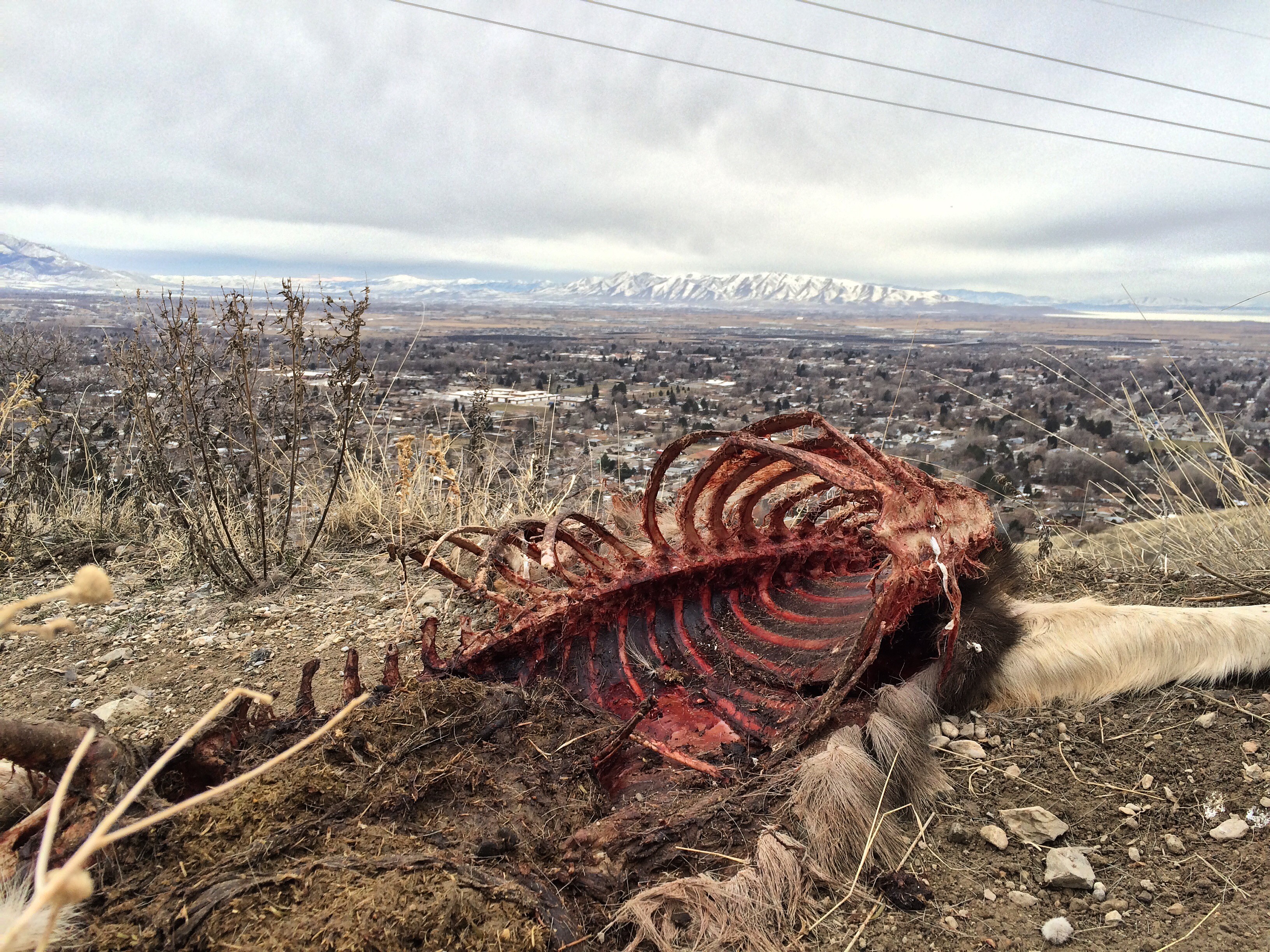
Springville BST was crawling with deer and carpeting in SO MUCH of their droppings. Also, a lost comrade.
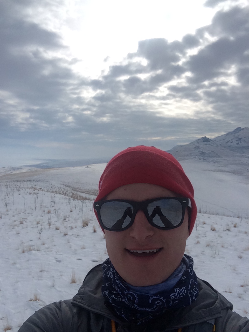
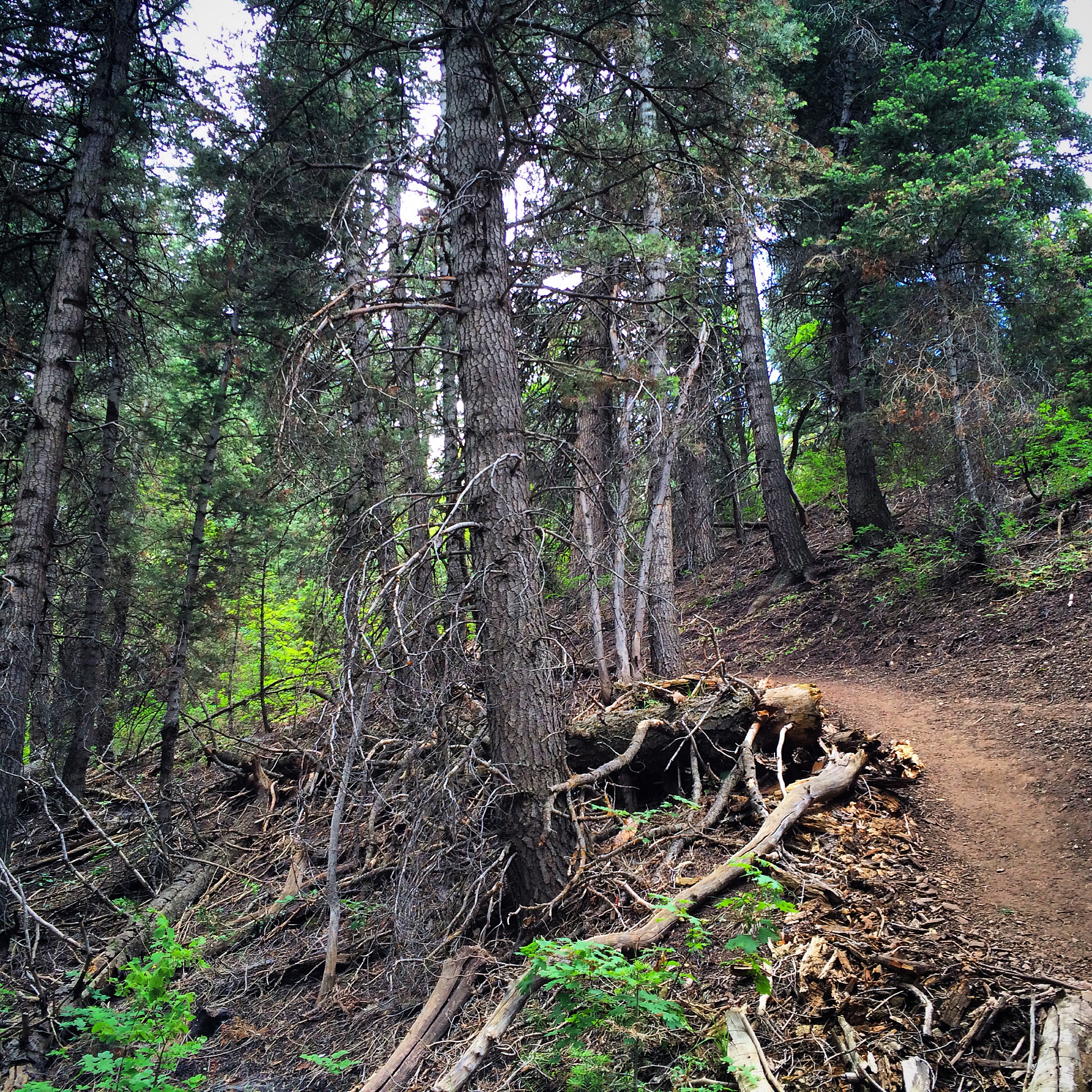
Having seen some recent pictures of Grove Creek Canyon in the snow, I just had to hit it. Before work I trudged up to the bridge before work. Gorgeous.
Gotta get above that inversion smog!Cliff-ciclesThe morning light bouncing off of North Timpanogos was breathtaking, but the pictures couldn’t capture it very well. So, black and white.
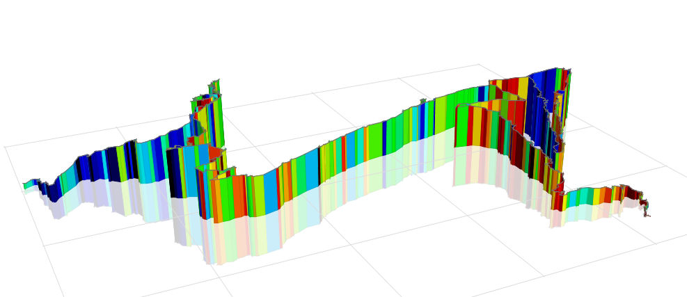
In hopes of rehabbing my IT Bands and increasing my flat-terrain endurance and speed, I have stayed off the trails for a couple weeks. (I want to be injury-free and flat-fast for my fundraiser on January 1 – read about it here to help Syrian refugees). One treadmill run and 3 on paved trails around my house. The treadmill was horrible. The ones around my house were convenient and actually somewhat enjoyable…but I missed the mountains. It is entertaining to chase strava segment PRs when on the pavement. See the Strava links for all of them below.
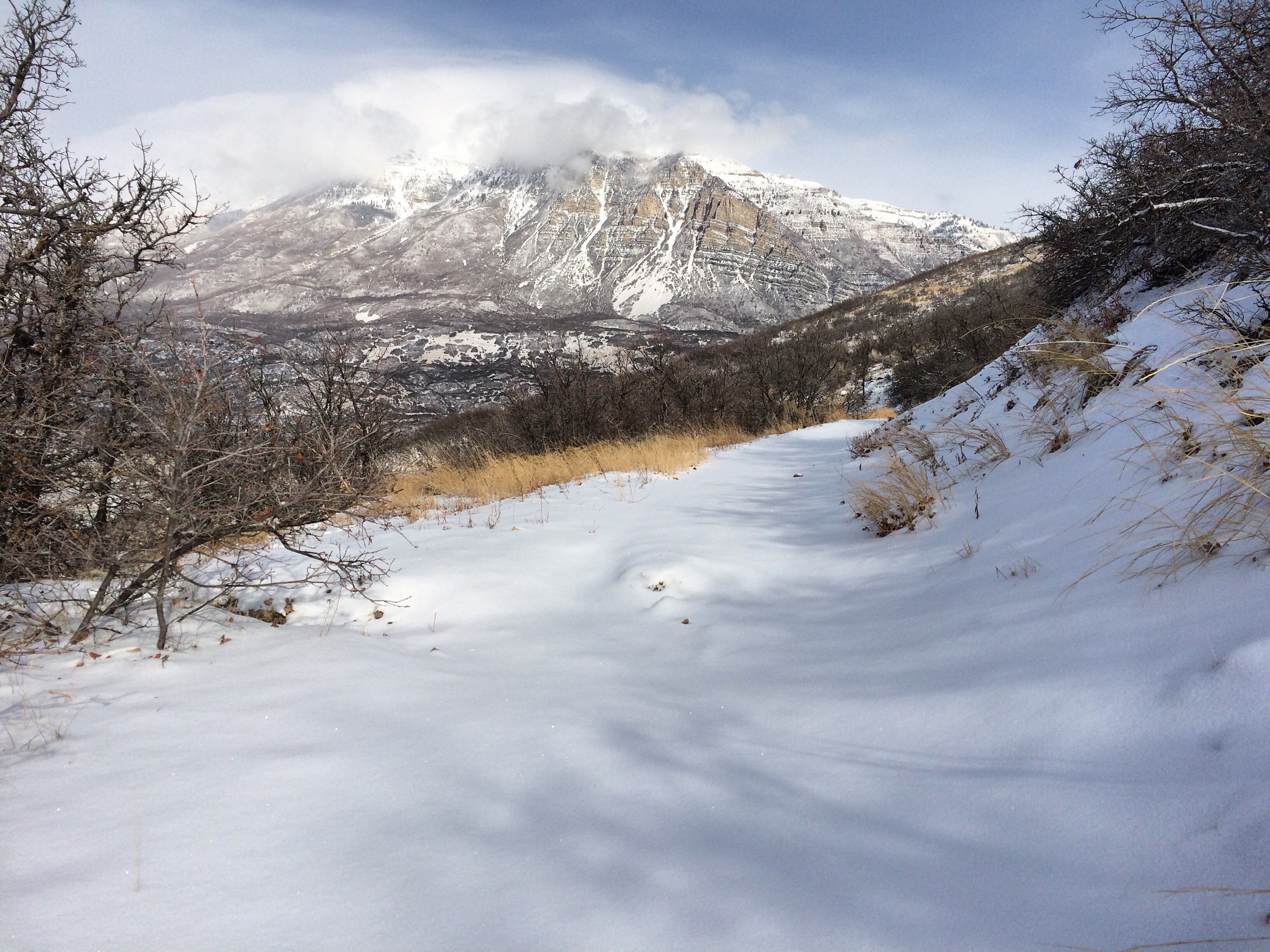
Today, however, I just couldn’t resist. It had snowed an inch or two over night and then snowed another few during the morning and early-afternoon. I just had to get up in the snow. I started at the equestrian trailhead in Lindon, went up the squiggles to the swinging bench overlook, dropped down to Dry Canyon and across the BST, then looped the lower BST back to the car. For most of it I could tell that people had been up in the morning, a clear trail being broken already, but another 2-4 inches had fallen on top of their tracks. It was the best of both worlds. I had a trail broken and packed but a nice soft layer of fluff on top to play in. I overheated pretty quick, stripped off some layers, ate lots of snow, and bumbled about. It was glorious.
The lower squigglesIn the first patch of trees you cross through at the top of the lower squigglesSouth of Dry Canyon on the BST
I have done a number of runs in the Orem/Lindon foothills on the side of the mouth of Provo Canyon, but not much on the south side of the canyon mouth. I remedied that this last week with 2 runs.
Starting at the Indian Hills trailhead I headed up the first mile climb and then another couple miles along the BST that travers up-canyon. The was ice in a few spots, but not bad. It felt great to be out. Once I turned around, my right IT Band flared up pretty quick and didn’t let up – getting especially bad on the last mile descent. More time on I the foam roller, I guess. Lots of tread mill. No hills.
Looking down-canyon towards the mouth of Provo Canyon
On Saturday I planned to try out my new snowshoes for the first time up at Aspen Grove, if the snow was deep enough. Unfortunately, the anyone road was closed. About 10-15 minutes earlier, a oil tanker overturned, spilling 1,000 gallons of crude oil into the Provo a River. Very sad. Nobody was hurt. I’m glad I wasn’t a few minutes earlier or I could have been in the middle of it.
I wasn’t planning to run because of my knee, but decided to give it a try. I ran up the Sq*** Peak Road a bit, then dropped onto the Cactus Hill Connector and then to the top of Cactus Hill. The trail was untouched by human feet until the top of the hill. Just animal tracks on about 2 inches of fresh snow. So perfect. Down the west side of the hill there were a bunch of tracks from earlier in the morning, but once I headed back up canyon on the Smith Ditch a then BST I had taken on Monday, it was fresh tracked again. So beautiful. I bombed back down the road to my car. The knee felt *ok and it was so fun to be out on the fresh snow. But, for the next bit I need to keep it flat. Treadmill, I assume.
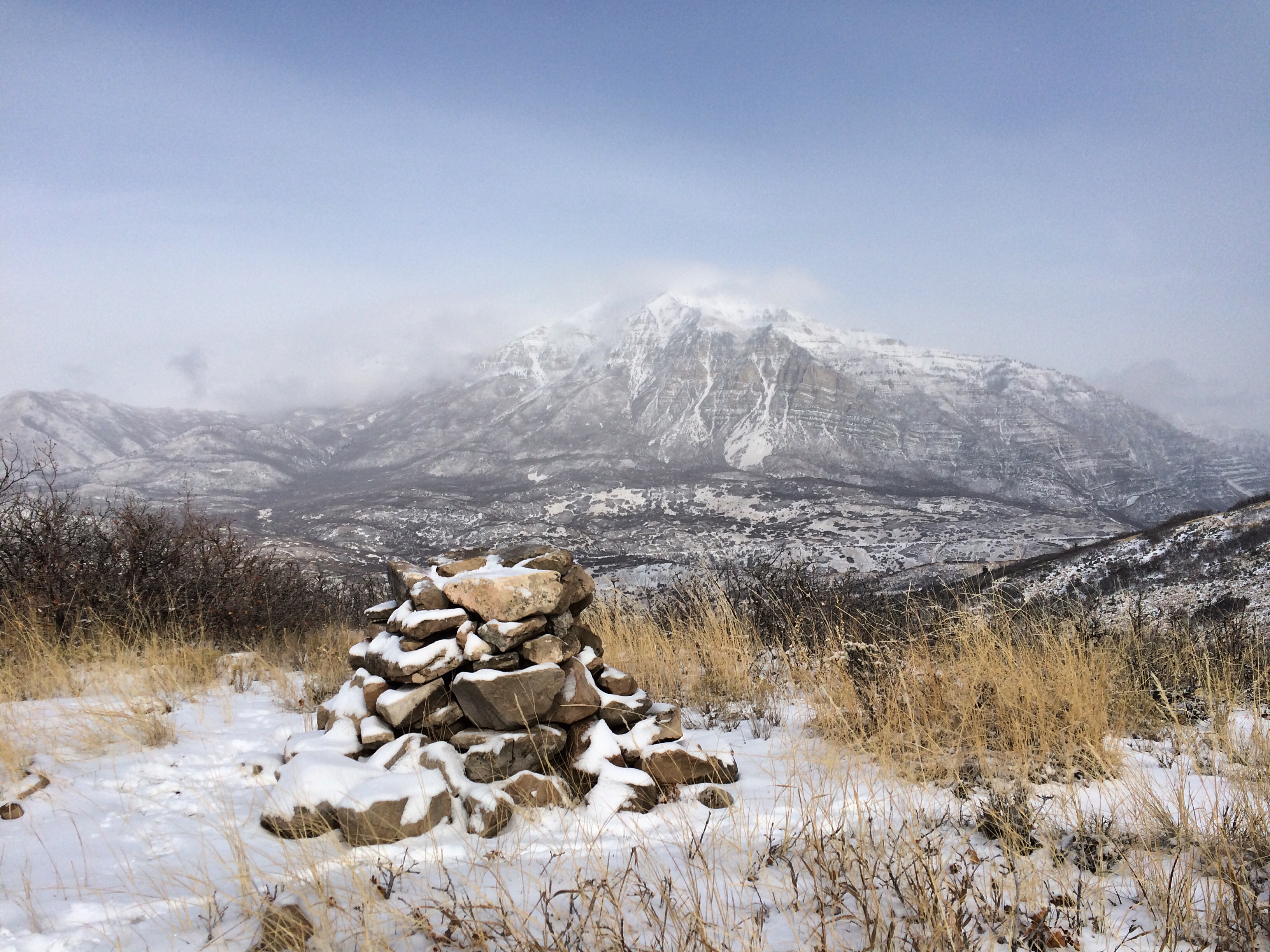
An Altar at the top of Cactus Hill. Mt. Timpanogos shrouded in clouds in the background.
Saturday started a bit chilly, with a slight breeze. I chose to just wear a long sleeve tech-tee (later a tank-top), some cheep gloves, a Buff bandana (later a plain red cowboy one), and a Patagonia Houdini windbreaker that I just love. On my feet I had my Altra Lone Peak 2.0s (2nd pair!), Injini trail socks, Altra gators, and some Zensah compression calf sleeves. For my pack and nutrition, I chose my Nathan VaporWrap with water, some Clif ShotBloks, SaltStick Caps, and an Ultimate Direction 20 oz. bottle with 2 hours worth of Hammer Perpetuem in it. My plan was to refill it with mix a couple times at aid stations. Finally, I got some good use out of my new Suunto Ambit2 gps watch. Love it! I could have shed the windbreaker by mile 2. Thankfully it doesn’t weigh much so having it in my pack wasn’t a problem.
Trying to stay warm before the race. PC: MVH http://bit.ly/1Xm8AEfAt the starting line, ready to go!
I thought that I went out fairly conservative, knowing there were a lot of miles ahead. As it would turn out, I clocked PRs on all of the strava segments down to Split Rock Bay. Oops. I guess the excitement of race day got the best of me. As usual, my legs felt a bit stiff for the first few miles, but once I dropped down onto the bone road and climbed up lone tree hill to the Elephant Head aid station, I was feeling loose and good.
There, I made the mistake of asking the volunteers how many miles it was to the next aid station. I should have just memorized the miles they were all at, or written it on my arm with a sharpie. In any case, they said it was 4.5 mile. I had another hours worth of Perpetuem in my bottle, so I didn’t mix a new one. As it turns out, it was 9 miles. Oh well. It wasn’t too hot and I had some Clif ShotBloks, so I survived.
Looking down to Split Rock Bay from the Elephant Head aid station.
After Elephant Head, there is a nice 1+ mile downhill to Split Rock Bay. I didn’t want to blast my quads too bad, but knew that the downhills are where I could pad my time and augment my generally slow pace along the flats. I made it to the bottom, and continued to feel good as I worked my way south, and up the switchbacks to the saddle where we cross into the southwest side of Antelope Island.
Over the saddle and looking down into Red Rocks Canyon to the southwest shoreline.
Up to this point, it was all trail I had done before, but before I turned north here to return along the spring Buffalo Run 25k course to Elephant Head and White Rock Bay. I had never traversed the saddle to drop into this section of the island. It was gorgeous. However, right as I started to descend back towards the shoreline, an all too familiar pain in BOTH KNEES came out of nowhere. IT (Iliotibial) Bands. NOOO! I hadn’t had IT band problems for over 0 months (last January)! I was sitting at about mile 8 with 23 more to go. I couldn’t believe it. I hoped that with careful posture, some breaks for stretching, etc… I would be able to manage it. I picked my way down the hill and it was just excruciating.
Heading down Red Rocks Canyon to the shoreline. PC: Lori Burlison http://bit.ly/1IbtE9n
So much for making good time on the downhills! Once down at the shoreline, the doubletrack degraded a bit into loose rock, sand, etc… for a couple miles until pushing up a 1,000+ ft. climb to the Sentry Peak aid station.
On the way up to the Sentry Peak aid station, looking south along the ridgeline – and Molly’s Nipples. Yup. That’s what they’re called.
On the climb, the pain went away and I made good progress, passing a number of people. I ate a bit, stretched, mixed another bottle of Perpetuem and got some more water. Then, I headed south towards the shark fin looking peaks. The pain immediately returned on my knees and I knew I was in for trouble. Still 17 miles to go. Quickly, the trail cut east and descended over the ridge and down to the east side of the island. I could see the “ranch” down below and hadn’t realized how high we had climbed. The dirt road down was in good shape, and normally, this would have been my strongest section of the course. It was a 3 mile downhill, dropping about 1,000 feet total. Not too steep to be unrunnable, but steep enough to make really good time. IT Band pain, however, is at its worst on downhills, and wow, it was bad. I limped my way down a lot of it, wincing when the pitch went especially steep. At the bottom, I came up on a runner from Wyoming and we shared a mile or so together going into the Ranch.
The flat hurt my knees, but was bearable. At this point, I knew that there were any more major long downhill sections. The remainder of our course was the Mountain View 1/2 marathon course that had started an hour after our 50k. So. I had a 1/2 marathon ahead of me of flat-ish trail, lots of soft up and down rolling miles. I wasn’t feeling good, but thought I could make it. I alternated between running slowly (9-12 min/mile pace) and speed-walking (13-14 min/mile pace). I would run for 60 seconds until the pain was too much, then speed-walk aggressively to give my knees a break. That’s the dumb thing about IT Band pain. It can be unbearable at even a slow running pace, but the moment you switch to a walking gait – the pain disappears. In any case, the walking saved me. For the last 13 miles, I average about a 13 min/mile pace. I am not fast on flat miles, but this is much slower than I had hoped to go. With the exception of the slow descent from Sentry, I had been clocking faster splits than I had hoped for. And, had I continued for the last 13 at my previous pace, I would have finished close to the 6 hour mark – WAY faster than I had planned or hoped. But, it didn’t pan out that way and I had to swallow my pride as a lot of people passed me over the next 13 miles. Often, they would pass as I walked and then I would catch back up to them as I ran, and so on. In a way, this made it even harder to swallow. I knew that if my knees would allow, I would be running at a pace faster than most of them – doing the passing rather than being passed. I have no pretensions about being a good runner and was out there to simply beat myself, not them, but feeling strong and moving up in the pack feels good. I knew that I should have been, but just couldn’t oh well.
At about mile 20.5 I hit the wonderful 9 Mile aid station where I had a drop bag. I switched my long sleeve shirt for a tank top and swapped my buff for a fresh bandana. I remixed a Perpetuem bottle, ate a tiny bit, and was off. In all, I think I was there about 7-8 minutes, my longest aid station stop by far. But, my legs felt so fresh on my way out. Wow. What a difference that made. I soldiered on to the Lower Frary aid station where my good friend Matt Van Horn (MVH!) was waiting. He pushed me along for about 5.5 miles, literally running circles around me. He would run ahead, then run back to me and go way behind, then turn around and pass me and run ahead again. I hated him for goading me on, but was also so grateful. It was wonderful to have a smiling face. I’m sure he got sick of my perma-scowl as I tried to wince through the pain.
Somewhere on the Mountain View Trail, faking a smile for MVH. PC: MVH http://bit.ly/1Xm8AEf
After hitting the fence-line and climbing up and over to the east side of the island at mile 28-ish, I told Matt to continue on to the finish and tell my family I was on my way. To make the course a full 50k, the RD looped our route north of the finish on the paved road a bit, then west down to the the dirt road along the lower campsites, then back south to the fence and up to the finish. The pavement hurt, especially on the downhill. But, with the finish line literally in sight, I tried to push. My family was waiting, lots of cheers, and my 5 year old boy even joined me to cross the finish line.
Coming into the finish line areaMy delirious face with finishers mug. PC: MVH http://bit.ly/1Xm8AEf
I finished in 6:45. That was 32 minutes faster than my Bryce 50k time. However, this was a much easier course. UltraSignup gives your performance a % ranking of how well you did against the top finisher. My 7:17 finish at Bryce put me at 61%, placing 30th out of 90 runners. My 6:45 at Antelope Island put me at 53%, placing 119th out of 199 runners. In the back of my head, I had sub-7 hours as a goal, so I am very glad to have done that. I can’t help but feel regret that my knees didn’t cooperate with the rest of my body. My legs were trashed by the end, but I feel that I could have gone another 30-45 minutes faster if the IT bands hadn’t been a problem. That would have put me in 80-90th place, with a 6:00-6:15 time. Well…I guess there’s always next year!
Dumb post-race pose Nr. 1Dumb post-race pose Nr. 2
In the end, I am frustrated but grateful that I was able to push through and finish.
After a failed attempt a couple weeks ago to run the Buffalo 25k course out on Antelope Island, I tackled it again. This time with a couple friends, Glen and Spencer. I was again struck by how gorgeous Antelope Island is. It is stark. The vistas are enormous. Expansive. I don’t run many places where you can see the next 8 miles of trail all laid out ahead of you. Coming down on the bone road either going to or from Elephant Head, you can see a LOT of trail ahead. It is a deceptively big place. The run was grand, except for the 2nd 8 miles when my IT band on the right knee flared something fierce again. The beauty of the place, and the glory of being (somewhat) out of the inversion smog made it all worth it though.
I clocked a 1/2 marathon and 20k PR as well.
Glowing Sunrise, Sideways Light
Split Rock Bay (looking north) and Elephant Head in Black/White
First Snow Run of the Season and First Time on Antelope Island
While in Arizona for the last couple weeks I have been drooling over all of the beautiful snow-running pictures my Utah friends have been posting. So, having just flown back to UT (family still in AZ) yesterday, I resolved to go exploring. A number of people suggested Antelope Island for good snowy trails. I have been out there before (twice) but never to run. I was also excited to test out my new winter running gear: a Bjorn Daehlie Ambition Hat, Buffs neck/balaclava/bandana stretchy thing, Altra trail gaiters, Patagonia Houdini windbreaker, IO-Merino Wool Chaser half-zip base layer, etc… Long story short, the gear worked amazingly – all of it. However it was mid-30s, sunny, and no wind…and I got way overheated.
It was gorgeous and the trails were in amazing condition – nice softpacked snow. No ice. Little to no mud.
My plan was to run the Buffalo 25k course, but that was quickly altered to a short 7 mile loop up above White Rock Bay due to some extreme IT Band pain. The knee problem flared a couple weeks ago during my 29 miler in AZ and I didn’t have a foam roller down there to work on it. Clearly, it didn’t solve itself.
Regardless, it was gorgeous. A real stark beauty. And, I saw a ton of other trail runners out there – which is always fun.
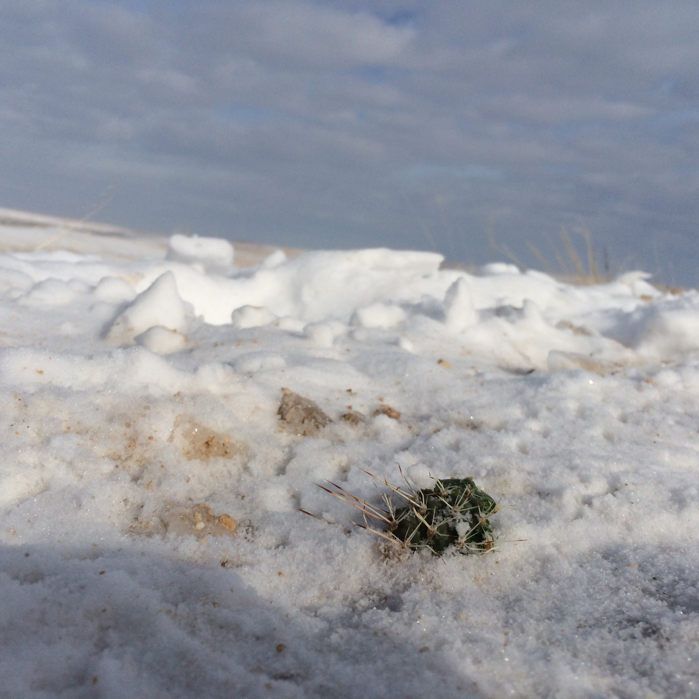
Snow CactusTrailfie
South Mountain Western Ridges Marathon+. 29 miles of happiness and horror.
I probably should have drawn an easier route for my first attempt at a marathon distance run – but it is just too easy (and fun) to draw lines on maps, tracing trails and ridge-lines, etc… In any case, I drew it, so I ran it: The South Mountain Western Ridges Marathon+. In all, it ended up tracking to 29 miles – almost a 50k. Phoenix’s South Mountain Preserve is located on the southern edge of town – a series of parallel ridges and valleys, lots of exposed rock, lost of Saguaro, cholla, barrel, yucca, and other cactus varieties, brutally hot in the summer, but quite pleasant in the winter. The temperature topped out at around 70 degrees. That feels quite a bit warmer than it sounds though, when you’re out baking in it.
For the attempt, I wore my Altra Lone Peak 2.0s, new Altra trail gaiters, Injinji smartwool toe socks, a trusty red bandanna around my forehead, a new Nathan VaporWrap pack with its 2 liter bladder full, 2 Ultimate Direction 20 oz. bottles in the front two chest strap pockets – one with water, the other with 2 single serving packets of Hammer Perpetuem mixed with water, some Cliff Shotblocks, a CliffBar, a small first-aid kit and sunscreen, an extra pair of Injinji socks, Salt Stick tablets to balance my electrolytes, my iPhone and a little charger to recharge it mid-run, and a pair of Black Diamond FL Z Poles strapped on the back. Now that I list it all out – that seems like a LOT of stuff. The pack did seem a bit heavy, but this was all self-supported with no aid stations, so I wanted to be prepared. Wait, I lied. The night before I dropped off 2 liters of water in the desert (by bike) around the mid-way point of the route.
I started at about 7:15 AM when the sun was up and it was light enough to see. I could have started earlier, but then would have had to pack a headlamp around the whole time.
Morning Sun.
I started at the trail-head at the western terminus of Chandler boulevard, and headed NE towards my first ridge climb – up the Pyramid Trail.
Climb # 1. Pyramid Trail.
This is one section I had done before, and I took an easy pace. I had to remind myself that I wasn’t doing this for speed – at all – I was doing it to finish. Slow and easy. At the top I strapped the trekking poles on the pack and followed the ridge line trail to the intersection with the National Trail at Telegraph Pass.
With 4 miles behind me, I descended the switchbacks to the paved road, and entered unfamiliar territory – the eastern stretch of the National Trail out to the Buena Vista trail-head and back. There were some great stretches of trail, but quite a bit of ups-and-downs, sometimes difficult to get into a good rhythm. At the turnaround, I applied some sunscreen. This is the desert, after all. Along the way I passed a number of fellow-hikers, all of whom gave me a queer look, likely wondering why I was so geared up. When I got back to Telegraph Pass and was passing a group of college students hiking back up to the Pyramid/National trail interesection, one of the girls asked – “Do you have enough stuff?!” “I’m on mile 10 of 30,” I said. What followed was a lot of “whoa’s” and “F#$# yeahs” from the group. Offering a few fist pumps in the air, I continued upward.
With the out-and-back finished, I turned NW on the National Trail to follow it along what would be the longest of the ridge traverses. This stretch of trail is gorgeous – both in scenery and trail conditions. I was feeling good, and about to settle into a nice pace when my right IT band started flaring and then my left calf muscle started cramping. NO! At only 11 miles, I was not pleased. I stopped to stretch the IT band, popped an extra Salt Stick tab and soldiered on. I was a bit bummed that the knee pain was slowing me down on what would otherwise have been the best part of the day. Great trail over 4+ miles of gradual descent. It could have been epic. Oh well.
At the water drop. Car to the left, 10 mile loop on the Bajada and Alta Trails to the right. I went right.
I arrived at the water drop, mile 15, with a decision to make. My planned route no took me on a 10 mile loop with 1,200 ft. elevation climbing up the San Juan Rd. valley on the Bajada Trail, up the SE flank of a large ridge and back the full length of the ridge on the Alta Trail. Conversely, I could cut that loop off, turn left and do the final ~5 miles of the planned route and call it a day with 20 miles. Maybe I should have.
I chose the originally-planned, longer route. Right as I hit the Bajada Trail I came across a park ranger – also trail-running – and chatted for a few minutes. Very friendly and glad to see people out using the trail system. Assured that the Alta Trail was in great condition, I moved on excited. Soon, however…actually, almost immediatley, spirits dropped. The Bajada Trail was a constant up and down in and out of washes – impossible to get into a good groove. Plus, I was hot. As the trail name implies, I was feeling “low.” Very low. Knowing that I was moving further away from my car and towards a huge ridge-line to climb, the thought of turning back was tempting. I found some shade a couple miles up the valley, switched out my socks for a fresh pair and continued on, across the San Juan Rd, and started up the Alta Trail climb. I hoped that the new trail would make my spirits “high”er (get it?) and for a moment I felt reenergized. Towards the top of the climb, however, I saw another piece of temping shade and took a the opportunity to sit. With my back against a cool slab of stone, I closed my eyes and dozed for about 5 minutes.
About to accidentally doze off for a 5 minute nap near the top of the Alta Trail climb. In the distance is the ridge to the south with the National Trail on the top that I had just run east-to-west.
Wow. That felt great. I jumped, bounded up the trail for about 10 seconds, but the energy didn’t last. Nonetheless, I think the nap helped. I soon crested the major portion of the climb and was thrilled to see the trail now start to head SW – down the ridge-line and back to my water-drop. 20 miles done, 10-ish to go.
Looking West down the Alta Trail, before it starts the rough descent down the back NW side.
Unfortunately, this stretch of trail was in very bad condition. Lots of exposed rock (instead of nice dirt) and continually covered with scree, loose rocks, etc… Much of it was unrunnable. A lot of it was even difficult to hike. It was very slow. And, with the descent, the IT band pain flared big time. It was a long, maddening few miles.
Somewhere on the Alta Trail ridge, panorama looking east and south. National Trail ridge-line in full view.
I reached the bottom and was at about 23 miles. From here, each step brought me closer to the end. Hooray! My energy level was low, but the flatter (and nice soft dirt trail) back to my water drop at mile 25 was heavenly. Spirits were lifting. The end was coming close. From the water drop I turned south and headed for the Gila and Bursera Trails. The Gila ran along a valley back to my car, but I – of course – had planned to run the Bursera up one final ridge. It was all trail I had done previously, and I seemed to remember that it was in good condition. The descent in particular – which is a VERY heavily used portion of trail – I knew to be in good condition. It wouldn’t be like the NW strech of the Alta Trail.
Looking east, up the Gila Trail valley with the Bursera Trail ridge-line to the right.
I pushed on, fight off some more leg cramps and screaming right IT band on the descent, and made it back to my car.
Partway up the Bursera Trail climb, I thought, “I wonder if I’ve hit 26.3 yet. I turned on my phone and just in time – I caught my strava read-out at exactly the marathon distance. First time ever.
Total distance – exactly 29 miles. I could have run down the trail and back to add another ~2 miles to make it a full 50k, but I was late and my family was expecting me home soon. So off I went.
On the road I stopped by a McDonalds drivethrough and ate the 2 most delicious McDs cheeseburgers I have ever had. A protein shake, bananas, chips, 1/2 a pizza, and yogurt later…was still hungry when I went to bed. The next morning, I was famished, at cereal, drank soda, got a huge hot dog at Coscto at 10:00, etc… Still hungry. By the next evening, my appetite subsided.
The damage? Sore and stiff muscles. ZERO blisters, ZERO stomach problems. The gear all worked so well. The Altra Trail Gaiters SAVED ME! With so much rock and sand and gravel and debris on the trail, I would have been shaking my shoes out non-stop if not for them. Absolute lifesaver. The Hammer Perpetuem seemed to work well, the Nathan VaporWrap was very comfy. The ultimate direction bottles were great. I’m sold on those.
High fives all around.
It was, hands down, the hardest physical feat I have ever accomplished. I don’t know how you 100-miler ultra-marathoners do it. But, I am glad to have done a marathon…and a bit extra. I won’t call it an “ultra” until I do it as a real race. I’m signed up for the Bryce 50k in June, and might do the Buffalo 50k this Spring. We’ll see how the recovery goes…
Pioneer Day Fun with 20+ miles, almost 6k elevation, 2 peaks, 2 Rattlesnakes, and Blisters Blisters Blisters
Last year on Pioneer Day, a friend and I tackled Baer Canyon. It was only my 2nd trail run, and we were unprepared and it was rough. I thought I would continue that and make an annual tradition of pushing myself to do unwise things on Pioneer Day. On the top of my trailrun to-do list has been to bag Thurston and Francis Peaks. I have been to both, but only after driving up to Francis and then running the Great Western Trail. I wanted to do it proper, climbing up from the valley floor. I put out the word and was joined by a few nice gents – Bryan, Jeremy, and Steve. Bryan had to turn back (work, or something) after the first hour of climbing, but Jeremy and Steve stuck it out to the end.
We started at 5:00 AM with headlamps, and I immediately fell behind the group on the climb out of the Fernwood Recreation Site in Layton. I don’t know what it was, but I just felt horrible. My stomach felt uneasy, and the climb really beat me up. When Brian turned back, I caught up to the other two and we stayed together for most of the remainder of the climb. We made it up the primary ascent, hit the delicious springs to refill our water along the traverse over to Chinscraper and then tackle that final climb up to the ridgeline.
Top of the Fernwood climb, traversing towards the Chinscraper bowl.Ridge line above Chinscraper, looking SouthRidge line above Chinscraper, looking north
As we neared Thurston Peak, we cut up a stream drainage where there was exposed rock and dirt to make an easier bushwhack up to the the peak. Its a bummer that someone hasn’t blazed a proper trail up to the top. Someone get on that. We enjoyed taking a rest, chugged some soda, ate, and then continued on south, back to the Great Western Trail.
Taking a Break on Thurston Peak
Along here, I hit my stride on the GW, but after about an 1/2 mile got stopped in my tracks by simultaneous cramps in my right calf and thigh. Ouch. I had been careful to keep hydrated and intake calories, but I had completely forgotten to pop a salt capsule. I took two with water, rubbed them a bit, and then runned them out until they loosened while trying to catch up to Jeremy and Steve. They didn’t cause any more problems as I kept my electrolytes in balance.
I love this stretch of the Great Western – amazing views on both sides.
Great Western never gets old
We took the steep road/trail up to the FAA towers on Francis Peak and stopped to refuel, take pictures, and plan our descent. Originally, I had planned on coming down the Francis Peak Trail, but had been convinced to take the Farmington Canyon Road down. This would put the mileage higher than I had planned, but I was excited about the prospect of hitting 20 miles – which would make it my longest run ever.
Someone should really proofread things before you cast them in bronze. She was “affluent in four languages.” Ha!
We started to scramble down the rocks just south of the peak marker to get back on the road when both Jeremy and Steve let out a sudden scream and help. Apparently, I had stepped right over (almost on) a large rattlesnake. As they followed me, they saw it slithering away, whereas I hadn’t even noticed it at all. After we got our nerves back, we got on the road and started down.
At this point, my left IT Band was starting to hurt, so I told them to go ahead while I stretched. I had about 8-9 miles of gravel road downhill ahead of me and I figured that with stretching the IT band might hurt, but would be manageable.
I caught up to them a mile or so down the road and continued my faster pace, moving ahead of them for another couple miles. Then, the blisters started. On the heal and arch of my right foot, two large blisters developed. This slowed me down and as we approached Skyline Dr. / Farmington Canyon Rd., they caught up to me. I was quickly realizing that this was going to be a much slower descent than I had planned so I wished them good luck and sent them on their way. So much for 8 minute miles the whole way down. Instead, I hobbled / limped / kind-of-ran / sometimes walked down to Sunset Campground and then took the Farmington Creek Trail down to its trailhead where my wife picked me up. It was really painful. Excruciating.
Jeremy and Steve took the road the whole way down, and my shortcut actually put me at the bottom ahead of them, even though my pace was slow.
In the end, I was exhausted and in a lot of pain but happy to have down 20 miles and to have bagged both Thurston and Francis Peaks. Though on speed PRs, a PR for distance and that was fun.
I am now about a week removed from Ragnar and am starting to assess how the race affected my injury-plagued lower-half. In short, some prior injuries seem fine, some seem bad.
IT Bands: Miraculously they didn’t hurt during the race so I am optimistic that all of my daily work on the foam roller is doing the trick. Fingers crossed.
Stress Fracture on left Fibula: This didn’t hurt during the race or the day after. But, in the following week it has started to throb. Whereas the pain had completely dissipated before – even when pressing on injured part of the bone – it is now back as a constant throb. If I press on it, I can definitely feel it. So, I think that got reinjured a bit. I was fairly certain this would happen. I bet it would have been much worse had I worn my normal street shoes. I think the max-cushioning on my Altra Olympus trial shoes saved me even worse trouble.
New injuries:
Stress fracture on my right fibula? Maybe. There is new pain there that is persistent and feels a lot like my left.
Knees. There is some occasional knee pain in places other than my IT band spots.
Delayed Onset Muscle Soreness (DOMS). Oh yes – like I haven’t had in a LONG time. I haven’t been this sore for this long in well over a year.
The plan moving forward? No running for another week maybe. Perhaps I’ll focus on some light conditioning and strength training and stretching around the house.
It was Saturday afternoon, the high was forecast to be around 70 so I couldn’t, in good conscience, not hit the trails.
I decided to try out my new trekking poles on the steep climb up the Davis Creek trail area.
I felt strong and did get a PR on the initial climb from the trail head to the split to the first waterfall, but not on the rest. Odd. I did stop and talk with a couple people so maybe that is what slowed me down.
I went up to the split where you can traverse over to Pretty Valley to the right, or go up to Hell Hole on the left. My plan was to do a loop. I went right, over to Pretty Valley, Up the south approach to Hell Hole and then back down to the junction. Feeling good, I turned around and did the loop in clockwise.
Above and below Hell Hole, there is a stretch of pine trees. It almost* looks like my home mountains in Washington…just a bit drier and not enough dense undergrowth, moss and ferns. This is looking up the trail from Hell Hole (just above the campsite) on the way up to the junction with the Cattleman Trail that goes uphill and SE and the Prayer Rock loop.
On my way down from Pretty Valley I could feel my left IT band a bit, but not bad. The ankles feel good.
They lied. Everything is not bigger in Texas.
For the last couple weeks I have been down in Austin and San Antonio, Texas, for a couple academic conferences and some research in a few archival repositories. Fun fun fun. And, rather than sit around bored in my hotel rooms at night when I didn’t have stuff planned with colleagues and friends, I went running. These were three of the sweatiest runs of my life. Wow. The humidity. Overall, it was a lot of fun to explore some new places. However, due to my IT bands and stress fracture on my left ankle…I am supposed to be only increasing my weekly mileage slowly – 10% per week, right? Well… I kind of blew that. Instead of going 7-9 miles max for the week, I did 15+ over 6 days. The IT bands got worse throughout, and now my left ankle stress fracture is a bit sore again – which it hasn’t been for a few weeks. It had been 100% pain-free for a while. And…it kind of feels like an identical stress fracture is developing on my right ankle. So… I may be taking it easy for a couple weeks now – maybe just keeping in shape on my bike until the Wasatch Back Ragnar at the end of June.
It was late about 6:30 or so when I hit the trail, which thankfully stays pretty well in the trees along Turkey Creek – so not much direct sunlight. Nevertheless, it was so humid, so sweaty. I felt like superman bounding up the “hills” along the trail. 300 ft over 4.6 miles…I guess the Wasatch has gotten me used to a bit more climbing than that.
This looked like a promising way to get out of the city, and it was way out there. Cell phone dead zone. I was expecting something a bit more dramatic when I saw the word “canyonlands,” but again I think Utah has spoiled me. The trails were nice, but a lot of it was exposed to the sun and it was hot. I went through 2 liters of water and still guzzled down a gatorade when I got back to the car. I also found it funny (didn’t get a picture! Yarg!) that on country roads, when there is a church ahead, they have yellow caution signs that say “Church.” I don’t know if Texas gets the irony in that. Yellow signs are for warning. Warning! Church! I didn’t realize rural Texas would be so anti-religion. 😉
It was interesting running amidst different plants. Big prickly pear cactus, wildflowers, etc…This cracked me up. The Indiangrass loop of the trail was incredibly easy to follow. Nevertheless there were cairns every 20 feet or so – some of them quite large.They call this “Hill Country”….well, they certainly aren’t Mountains!Back home on the Wasatch Front, everyone has been posting picture of waterfalls. This is as close as I could get.
This was about 1/2 between Austin and San Antonio (off west of San Marcos) and I decided to run it as I was driving between the two, leaving the archives in Austin and going to a conference in San Antonio. Knowing it would be the middle of the day, I packed a full 2 liters in my hydration vest and even put on sun screen. Thankfully, it was overcast. But wow – it still felt hot and humid. The trail is on a peninsula which appears to be made of limestone. Much of the trail was exposed sharp craggly (sp? even a word?) bedrock limestone. Sharp stuff. Oddly, it appears to be mostly used by mtn. bikers, and I could see that rock just shredding your sidewalls on the tires. In any case, the full Madrone Trail packs 7.5 miles of trail into a pretty small area. That means constant twists and turns and doublebacks. At one point I came upon a couple deer and they spooked – bounding off. Then, the trail doubled back on itself and I came upon the same deer again, about 60 seconds later. They bounded off…and the trail meandered back to where they had run to another 2-3 times. Sorry guys. Around 3-4 miles my left IT band was really screaming, and as you can see on the map, there are plenty of places where I could bail and hit the west side trail back up to my car. With the north loop done, I thought I would at least do the east loops…and then maybe go back to the car. Then, I decided I would at least do some of the big south loop…I ended up doing the whole thing. Towards the end I had that wonderful moment where you are so glad you DIDN’T turn back early, and instead pushed through for the whole thing. My legs disagreed over the next couple days. 😉
On the north loop, overlooking Canyon LakeAnimal bones on the trail. This, coupled with the many turkey vultures circling overhead the entire run, proved a bit disconcerting.Remnants of a fire. The entire coastline was filled with these creepy looking trees. A few seconds before I took this picture, a big turkey vulture was perched right in front of me on a branch – it was like something out of a cheesy horror movie.With this run, I hit about 60+ miles in my new Altra Olympus shoes. While I am still struggling with some prior injuries, my feet feel great. And, I think they are helping with the injury recovery as well. Max Cushioning to the MAXXX!
With an official diagnosis of ankle problems, a fibula stress fracture, and a strong suspicion that running on pavement severely aggravates it, I decided to hit the dirt today and test out my theory. I started at the Farmington Pond, ran north on the BST to Shepherd Canyon, up to the Upper Terrace, and took that back to the car. Its a great loop. My left IT band hurt towards the end, but my ankle did not. Often the pain is delayed, really coming over the next two days…..and……no pain. The ankle felt great in the days after. So – I am officially swearing off pavement for now. And good riddance! I have also started taking vitamin D and calcium supplements, which the doctor said will help promote bone healing, growth, and strength. I doubt they are kicking in this quickly, but it can’t hurt – right?
I got home from work and it was just too nice to not go out. My knee was a bit sore, and I knew I would regret it (I don’t) but I went anyways. I was planning on parking at Famrington Pond and running the BST/Farmington Upper Terrace loop, but when I arrived at the canyon I saw that the gates were open. Yeah! Up the canyon I went.I parked at the end of the pavement and ran up the Farmington Creek Trail past Halfway Creek and Corduroy Creek, looking for the right-hand turnoff for the Old Aqueduct Trail.
It is a beautiful canyon. It was my first time running up that trail and I think it is going to be a go-to trail for me. Not too steep, nice and easy, well-maintained.
I can’t believe I live hereLater this summer in the heat…I just might take a dip!
Also, some old cars wrecked in the forest. I don’t know they were pushed off the canyon road above, or if they were from back when that trail was an old road bed.
I bet my dad could ID this down to year/make/model.Car on right, engine block on left
In any case, I couldn’t find the Old Aqueduct turnoff. I took a right-hand turn up past the big waterfall and it quickly devolved into a bushwhack. Ah…just like old times.
Looks like it MIGHT be a trail…
When I got home and got in the shower, I discovered that I not only did my inaugural bushwhacks, but also the inaugrual bloodletting. All those little scratches really sting in the hot water and soap! Hurts so good!
When I got back to the car, I drove down the pavement to where maps show the other end of the Old Aqueduct Trail. I walked a log across the creek, and bushwhacked up the hill until I found a good solid diagonal trail. It took me to the ridge where I followed it up to the Farmington Spine Trail proper, and the intersection with the Old Aqueduct. I ran it for 100 yards or so just to check it out and then worked my way back.
Old metal ties that used to hold the aqueduct pipe in place – could make for hazardous running.
Balance-beam across the creek – I don’t think mom would approve.
It was a fun little climb and now I know how to get up there. My IT Band on the left knee was just screaming by the end. Boo.
A couple months ago, a member of the Wasatch Mountain Wranglers Facebook group posted that they needed a runner to add to their team for the Zion Ragnar Trail Relay. The fee was already paid, just come and run. My family was scheduled to be out of town on the race weekend, so I figured that I had nothing better to do and secured a spot on the team. I hadn’t done a Ragnar before and from what I knew, understood that it wasn’t really my “scene.” Huge corporate sponsorship/product shilling, running in costumes, black eyed pees blasting over speakers, etc…. I am a bit more low key. But a lot of people love it and I think that is great. I especially like that it seems to get people who otherwise may not try running out there. I also see how the group/ team experience could be a lot of fun for friends/family to go out and do something really challenging together. That’s awesome. It just isn’t why I have really come to live running trails. If you go to a non-Ragnar trail race – like an ultra marathon – you will notice a VERY different scene. Less spectacle. Less EDM remixes of “Livin on a Prayer” blasting at a gazillion decibels, less meat-market skin fest.
Ready to represent the Wasatch Mountain Wranglers with an original “Wrangler,” pearly snaps and all!
But I digress. Back to my actual race report. I was the first runner for or team, scheduled to start at 2:00. I arrived, dropped off my gear, drove 5 miles back down the road to the parking lot, took the shuttle back, picked a campsite, set up tent, got dressed and headed over to the big start/finish area. The team captain, Joel, arrived and I pointed out where our spot was about 60 seconds before I took off – just in time. My first leg was the Green Loop – the easiest of the three – 3 miles. I kept an easy pace, quickly relaxing how out of shape my ankle-resting had rendered me.
That left me about 6 hours before I would run again. Much of that was spent trying to keep blowing dust out of my eyes and trying to recharge my phone – which the roaming/searching for signal had quickly drained. I also got to hang a bit with the rest of the team – a super friendly family + friends. They made me feel very welcome. They made what could have been an uncomfortable and awkward weekend I to a very welcoming one. Thanks guys!
At 9:00 I got ready for the Red Loop – the hardest leg, 8+ miles. With my headlamp readying I excitedly took off. This is where I noticed some trouble. It had been dusty all day and there was a little dust that billowed up on my previous loop, but now it was choking. With the 800+ racers that had pounded down the red loop by this point, the dirt was compacted, but rather pulverized into a fine talcum powder-like dust 1-2 inches deep in places. All those feet had also deepened many portions of the trail into a narrow trough/rut with 1-2 inch deep edges on either side to roll ankles on as you tried to tight-rope walk the narrow path. The dust was the real problem though. The constant stream of runner had not only pulverized the trail from dirt into dust, but never left it long enough for it to settle back down. The air was filled with it. My eyes stung and it was hard to breath. Also difficult was the fact that the headlamp light reflected off of it in the air and made it difficult to see though the cloud.
This was frustrating and I couldn’t help but think of the parallel to Donald Worster‘s seminal 1983 study, Dust Bowl: The Southern Plains in the 1930s. Worster’s history examine the 1930s Great Plains environmental and economic disaster know as the Dust Bowl. Employing Marxist theory he outlines how capitalist interests and market created a situation that led to crisis. Capitalism led farmers to overflow the Plains. The region had been enjoying an abnormally wet period, the soil was rich, and yields were astronomic! Huge profits. However, when climate oscillated toward more typical aridity and then devolved into a deep and long drought – the crops died. Where once the millennia-old ecology of long, mixed, and short grass prairie grass weathered regular droughts, there was no longer the deep cover of grasses and interconnected root system. There was only exposed dry soil. And, it all blew away. Worster’s analysis is narrow, and his application of Marxist theory and focus on capitalism doesn’t quite explain the totality of a very complex situation, but revealing and an important work.
I see it as analogous a bit to what happened at the Zion Ragnar. Boasting that this was “the biggest trail Ragnar ever!!!” (Met with lots of cheers) the race organizers sent 2,400+ runners out on the trails. Trails that never see that magnitude of feet in such a compressed time period. And, it destroyed the trails. Dust dust dust. Bigger is better led to deteriorating trail conditions. Later, like in the Dust Bowl, it would lead to disaster. But again, I digress.
I ran my 8.5 miles. The last 3 or so where made much more enjoyable by meeting someone on the trail and chatting about history. It turns out, she had just created a nonprofit organization to so some historic site preservation in the St. George area and we had lots to talk about. Towards the end, my left IT band flared, but I finished the loop.
From there I went to my tent and tried to get some sleep. At 2:00 it started to rain. Around 4:30 I got up to get ready for my next, and last, leg on the 4.5 mile yellow loop. It would be cold, wet, and certainly muddy, but I was excited. 2 hours later, I was still waiting, soaked to the bone and very cold from standing around. The runner before me texted around 6:30 and said he was dropping. Be had also been waiting 2 hours for the guy before him to finish the red loop. The trail, however, had become un-runnable, he said. This coming from a guy who runs ultras like the Wasatch 100 worried me. I had been watching people come in and hearing that things were bad. The moisture had turned that 1-2 inches or powder dust into 3-4 inches of slimy greasy clay-like mud. It was difficult to even walk on in flat sections, let alone run. On ascents, runners were having to pull them selves up by grabbing bushes on the side of the trail. On descents, people were saying it was scary – sliding, falling, etc. 30-45 minute loops were taking people 2 hours. The 8.5 mile loop, which took me 1 hour and 45 minutes was taking people 3+ hours. If the race had been smaller, maybe the trail wouldn’t have been so badly damaged and it would have been just a muddy course – not an un-runnable morass.
So tough up, right? Just go slop it out! Did I mention that temps had dropped and the rain had turned to snow? Yeah. Snow. Coming down hard. At least an inch from 5:30-6:30 and getting harder. Now, people were coming in hypothermic and a 4 hour struggle to finish their loop. A runner on a friend’s team got sent to the Kane County hospital with severe hypothermia and a core body temperature of 94 degrees! I watched one lady come up to the bonfire, crouch down and desperately try to warm up her fingers – sobbing that she couldn’t feel them. We suggested she go to the aid tent or the lodge – where it was toasty warm.
The far north end of camp, after 1 hour snow.
I went in and got our bib, thinking I should give it a shot. I took off and after heading down about 3/4 mile of trail, turned around. The trail was impassable. I could barely keep upright and it was mostly flat by that point. Having stood on the rain/snow for 2 hours , I was soaked and suddenly aware of how numb my fingers and toes were. I turned in my bib and headed to camp. As I was telling the team that I had dropped as well as the runner before me, word spread through the camp that Ragnar had cancelled the rest of the race. VERY smart call. In the end, search and rescue went out and made sure all 10-22 missing runners were found and accounted for. I spare the details, but getting out of there (snow was really pounding now) was a mess.
I was one of the first people to get out – and it was already a mess. One team member had to call AAA to pull him out of the mud
I was disappointed that I didn’t get to do all 3 loops. I was racing for free, but suspect that those who had paid for 2/3 of a race were more disappointed. More frustrating, however, was my feeling that it could have been prevented. The rain and snow was an act of nature – but if it had fallen upon trails not so badly damaged by the 300+ 8 person teams, it would have still been runnable. It would have been cold and wet and muddy. But it wouldn’t have turned into a dangerous situation where people were stuck out on a 3 hour loop, when only prepare for a 45 minute one.
Like the Dust Bowl, decisions made by man turned a bad situation into a crisis. Drought would have ruined a lot of farmers, but the Great Plains wouldn’t have blown away and become an ecological and economic disaster at the scale it became.
At the Zion Ragnar, it would have been a tough one and lots of people would have dropped regardless – but many would have been able to soldier on and have stories to tell of it. Maybe it wouldn’t have been cancelled and people wouldn’t have been sent to the ER with hypothermia.
So, how do I end this? First, I had a good time. It was fun. The running and camaraderie, that is. The Ragnar “scene,” not so much. The size of it wasn’t my scene. I know Ragnar is a business and wants to maximize profits, but I wonder if they restricted the size of the Trail Relays and kept them a bit smaller, a bit more low- key, a bit more intimate – if runners would have a more enjoyable time. I think they would. Of all the trail runners and trail ultra marathoners I have talked to, most avoid Ragnar because they don’t like the scene. If run differently and on a smaller scale, I wonder if some would be excited about the opportunity to do a relay race together. Profits would be much smaller, but rather than most of the serious trail-running community avoiding Ragnar, maybe they would participate. Perhaps. Maybe not. I don’t know. I’m just barely getting into trail running and getting to know the community.
So would I do a trail Ragnar again? Probably not. It was a good experience and I’m glad I did it. Very glad. I had a lot of fun. I am bummed that my only day-time loop was the non-scenic one, but oh well.
ALSO – I ran in brand new Altra Olympus shoes. They were amazing. I’ll so a gear review about them later.
Hello Dirt. These feet have missed you terribly. Please forgive cranky old-man ankle for not letting them come play much lately.Trail heading up? Yes Please!
Over the past couple weeks I have been reading about active release massage and how it might be able to solve my ankle trouble. I have begun to suspect that the lasting pain on my peroneal tendon is from scar tissue that built up. Apparently, you can break up the scar tissue by massage it and so forth. So, along with rolling and stretching out the muscles that the tendons attach to, I have been doing it for the last couple days. Painful, but hopefully it will do the trick.
Today is was about 60 degrees and overcast. We had nothing going on this afternoon and I just couldn’t take it anymore – staring up at those mountains by my house, know that the snow was melted from all the lower ones. They were calling to me. Beckoning. Begging me to come run them. Taunting me even. So, I gave it a shot. This was the first trail run since a 4 mile run on the BST south from Farmington Canyon almost exactly 1 month ago.
I parked above Farmington Pond and took the trials north up to the Bonneville Shoreline Trail and took that north to the Shepherd Creek Canyon Trails. It felt great to be back on dirt, stretching my legs. I could tell that my lungs and legs were out of shape though. So, I have work to do. At Shepherd Creek I climbed up to the Upper Terrace and took that back south to Farmington Canyon. Whereas the BST was a mix of trail and dirt road, the Upper Terrace was all single-track. Delicious delicious single track. The switchbacks down into Farmington Canyon weren’t the best – lots of loose rock and gravel. I came up Farmington Creek a bit, bolder hopped over to the south Bank and then ran the Canyon pavement down to my car. All in all the ankle felt ok. We’ll see how it feels tomorrow. My left knee, which I suspect is still the IT Band, flared a bit. I need to get serious about my daily stretches and rolling of the muscles. I need that under control for the Zions Ragnar Trail relay next month. About 4 weeks and counting!
Tonight I decided to give my ankle a try. I hadn’t run on it for 8 days. I started partway up 400 N in Bountiful and ran up past the LDS Bountiful Temple towards Mueller Blvd., then I turned around, and bombed back down 400 N. and a ways up 400 W. I clocked some of my fasts miles going down the hill. At about mile 2 my IT bands started hurting, but oddly enough, as I flew down the hill, the pain went away. Nice!
My ankle was a different story. I could feel it hurting the whole time, but oddly, it hurts most when I stop running and just walk. In any case – it is hurting now. This may have been a mistake.
It was nice to get above the inversion smog though – which has been really bad.
When I got back from Arizona, I decided that I would try to rehab my IT Bands. They hurt the worst going downhill, so I thought maybe staying flat – on the pavement trails around my house – would help. Over the course of a few weeks, I did 6 flat runs. I would do stretches on the trail every 1/2 -1 mile for 20-30 seconds on each side. It actually worked pretty well and by the 6th run I was feeling very little to no IT Band pain! Hooray! And, it was actually fun to pound the pavement and work on my speed and pace. I posted some of my fastest paces ever. Concurrent with this was the New Year and I decided to make a resolution. I wanted to run 500 miles this year. This motivated me for these 3 weeks to keep on getting out there and clocking miles and was probably my most runningest (not a word, I know) month ever.
At this point, my left peroneal ankle tendon began hurting. That’s right – the right ankle was feeling fine, but now my left ankle started hurting. I think it was, again, from doing a few runs on uneven snow. Stupidly, I ran through the pain a few days later and blasted out a PR for a 10k. I was excited about that, but woke up the next morning in extreme pain – totally limping around.
Ok, I have been seriously limping around AZ all week. That last run was a mistake. I should have taken it easy. But, I just could resist. Well…today was our last full day down here in the valley of the sun…so I thought I would throw caution to the wind and run again – suffer the consequences later.
I had my wife drop me off at the Pyramid Trail TH with the plan to meet up with her, my kids, and some of our cousins later as they hiked up to the Lost Ranch Mine Ruins for a picnic. I went up the Pyramid Trail to the top of that peak, and then followed the ridgeline NE to where it connects with Telegraph Pass – almost all the way to the radio towers, then lopped back SW on the opposing ridgeline to the north on the National Trail. I then dropped down the Lost Ranch Ruins Trail and arrived at the old ruined farmhouse right when the family did. Perfect timing! As with the last run, the conditions were amazing, and the trails were in great condition….except for the descent down the Lost Ranch Ruins Trail – that one was a mess. Super steep and lots of loose rock.
My foot hurt the whole time and BOTH of my IT bands were hurting from about mile 4 onward.
One positive to having family in Arizona is visiting there for the holidays. My word – 60s-70s feel glorious. I have a problem though – my right foot is still quite painful. So – do I take advantage of the warm weather and trails, or be a good boy? I opted for the trails. Today I started at my sister’s house (on the south side of Phoenix’s South Mountain in Ahwatukee) and accessed the trail system there. I took a dirt road out of her neighborhood East to run the Southernmost ridge that runs WNW to ESE above her house. I took the Pyramid Trail up West to the Bursera trail and followed that along the ridge until it drops down the backside into a valley and connects with the Gila Trail. That loops around the far SE end of the ridge, where I followed a trail under the power lines back over to the backside of my sister’s neighborhood. It felt amazing to be running shirtless in the sun on new trails – Saguaro cactus all over the landscape. Just beautiful. Unfortunately, my IT Bands really started hurting on the descent down the backside side of the ridge at about mile 3.5. And, the foot pain didn’t go away. While running it actually didn’t hurt to bad, but whenever I slowed down to a walk – or when I climbed back in my car – it throbbed bad.
A couple months ago I won a pair of Montrail Badrocks from Max King on facebook. They just arrived and I got them specifically for wet. snowy, or muddy conditions. So, I grabbed my neighbor Matt and we did an EARLY morning run up Farmington Canyon, which was snowpacked. It was my first run on the snow and the shoes did great. Unfortunately, my knees did not. I gave them an almost 2-week rest, but wasn’t very diligent at using my foam roller on them. Also – I was feeling pretty lazy or something, and just had to power hike most of the way up. I’m sure it was MVH’s slowest time ever going up the canyon.
After last year’s Turkey Trot I thought it would be fun to make it a tradition. I ran from my parents house up the the old RR track trail system to Whatcom Falls Park and back. I can’t believe how lucky I was growing up here. This was a 1.5 mile jog from my house. Nuts.
I grew up in Bellingham, WA and spent a lot of time hiking and mountain biking in the AMAZING sets of trails in the Chuckanut Mountains that creep into town from the south and east. These trails are amazing. The Galbraith (Lookout Mountain) trail system is world famous for Mtn. Biking trails. I spent so much time up there as a teenager, but didn’t realize how good I had it until I moved away.
I never ran those trails though. I hiked the Chuckanuts south of town, backpacking up to Pine, Cedar, Lizard, and Lilly Lakes to camp overnight. Also did Oyster Dome and the Bat Caves a number of times. Amazing trails, amazing views of the San Juan Islands. Beautiful Stuff.
Well, for Thanksgiving my family drove up to Bellingham for the week and my #1 goal was to fit in a trail run in the Chuckanuts. I had my dad drop me off at Larabee State Park and told him I would call about 30 minutes before I descended down to the Pine & Cedar lakes trailhead. I had gone over some maps and thought it would be about 10 miles.
I climbed up the Fragrance Lake Trail first, absolutely giddy with the familiar surroundings, soft dirt under each footfall, dense foliage, etc… I felt at home. I pushed past Fragrance Lake up to Cleator Road, thinking that if I followed it, it would put me up over the ridge to Lost Lake – a lake I never made it to as a kid. Well, I followed the road up, up , up, and finally got to the ridge. Down the other side looked too steep to climb though. IT turns out, if I had just followed the ridge NNE, I could have dropped right down to Lost Lake. Instead, I followed it SSW, eventually descending down the chinscraper trail to where the actual Lost Lake Trail hits…you guessed it…Cleator Road. If I had originally turned right on Cleator, instead of Left, I would have hit this trailhead in about 50 years. Oops. All told – this added about 2 unplanned miles onto my route. No worries. I hit the Lost Lake Trail, from which you can see SW to the ocean for a bit. Then, I took it along the bottom of the ridge I had just traversed the top of in the opposite direction. I made a quick stop to take a look at Lost Lake, then then continued on.
To get to the Pine & Cedar trail I jumped on the Raptor Ridge trail (taking a picture at the overlook) and then followed it to the intersection with the trail that would take me down to where my dad would pick me up. At this point, I look at my GPS and realized that if I instead turned right and went to Pine & Cedar lakes, and THEN down to the car…the total mileage might hit 13.1 – a half marathon. Granted – I hadn’t moved at half-marathon pace and had taken a lot of breaks to take pictures and such, but no matter. Off I went.
The lakes were beautiful as I remember them being as a kid, but the trail down to the trail head was STEEP. I remembered it being steep, but not this steep. And, my knees didn’t like it. By the time I got to the bottom BOTH IT BANDS WERE SCREAMING. NO!!! The dreaded IT Band was back – and now in both knees. This was disappointing.
My family pulled into the parking lot, literally, right as I finished but I made them follow me out to the road so I could hit the requisite 13.1.
For October I gave my knee time to recover, but didn’t really do much to fix it. I should have stretched it lots, but didn’t.
Then we decided to run a Thanksgiving Morning 5 mile turkey trot. I did a run each of the 2 weeks prior (5 miles at 9:02 min/mile, and 4.7 at 9:44 min/mile), and the knee gave me trouble each time. Stretching mid-run helped, but it still hurt.
Race day was cold and windy. To make matter worse, the first 2 miles were a steep descent. I have come to find out that illitibial band problems are exacerbated by downhills. Needless to day, I had to stop and stretch lots – but I finished. 5.5 miles at 9:05 min/mile. Not horrible for me.
And, the apple pie I ate when I got home never tasted so good.
The planned 5k race was 29 September 2012, so I decided to give my knees a break and only do bike rides for the month. 7 days out, I went out for a 1 mile jog. Knee felt fine, but I didn’t want to push it.
The race was early on a Saturday morning. At the fire of a cannon I took off, adrenalin pumping and pushing me to run faster that I ever had before. I posted a PR 5k time and pace (7:45 min/mile) and felt great. I was exhausted but the excitement of the “Race” atmosphere made me run fast. And no knee pain! It was great.
Julianne and me before the race. It was a bit chilly out.
Going wakeboarding later that day probably didn’t help the knee injury….
August 2012, Illiotibial Bands Raise Their Ugly Heads
In late July I got a pair of brand new, real running shoes. Some Mizuno Wave Inspire 8’s. They felt great. Maybe too good. Feeling emboldened with my new foot gear I went out for a run on August 7th, and instead of stopping at 3-4 miles, just kept going. A full 6.3 (10k!) by the end.
The problem was that with each mile I felt better and better. It was exhilarating. A full 10k and it felt great. Even better, I clocked a 8:29 min/mile pace, which for me was great. An awesome improvement from the 9-10 min/miles before.
A couple days later I put in a 4 mile run at 8:27 min/mile, again feeling great.
Unbeknownst to me at the time, I was upping my mileage faster than my body could handle. On August 15 I went out for, what I assumed would be, another PR run. About 1 mile in I got a sudden sharp pain on the outside lower corner of my right knee cap. If I walked the pain went away, if I ran it killed. WHAT?!
I walked home, got online and diagnosed my symptoms. My Illiotibial Band. Arg.
I was so frustrated. Right as I was starting to honestly enjoy running, my body says “I don’t think so!”
I took the next month+ off, only doing bike rides.